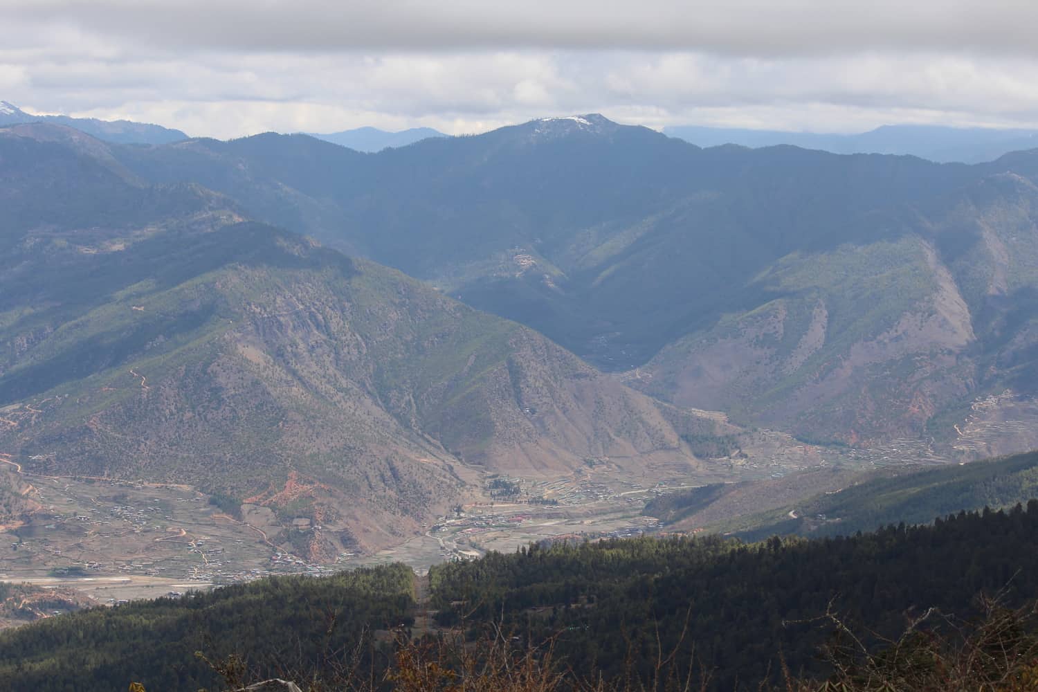
Chele La pass, at ~13,000 ft above sea level, is the highest motorable pass in Bhutan. It is located at a distance of ~40 kms from Paro. The drive, through the Paro airport view point, and dense forests, takes ~90 minutes. There was fair bit of snow at Chele La pass and our car driver explained that whenever it rains in the valley, it snows at mountain tops. I had checked the weather forecast before driving over-this is very important because if it is cloudy or raining, you will not get any views of the valley or the mountains and it can get very cold if raining.
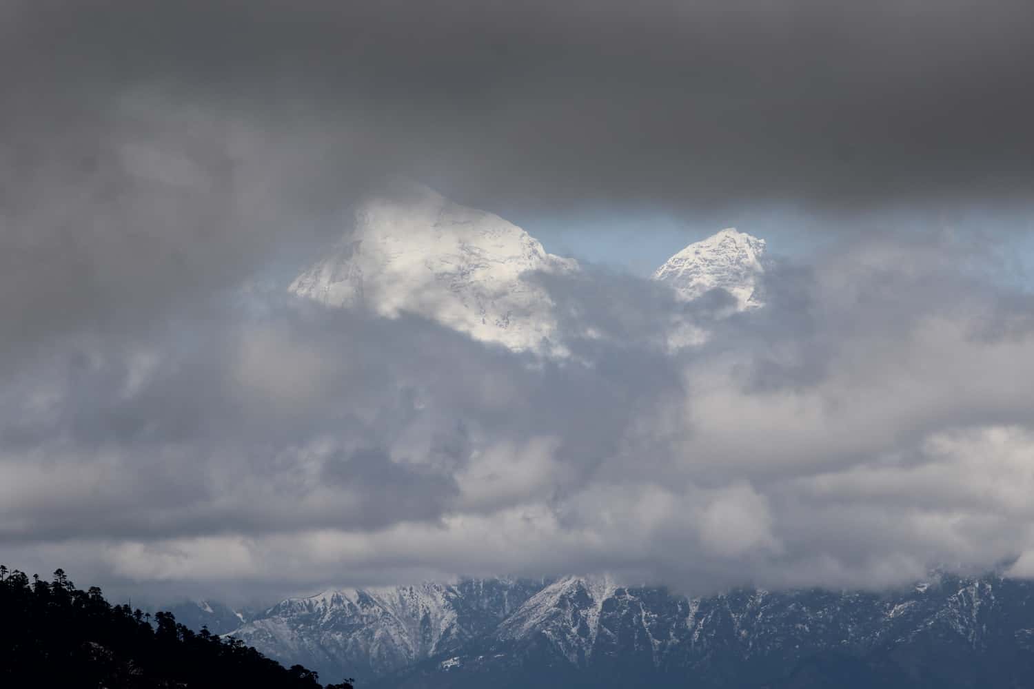
The sky was quite clear when I reached Chele La pass. The views of the valley and mountains were fantastic. And the bonus? The clouds parted a bit and I could view the most sacred mountain in Bhutan-Jomolhari which rises to ~22,000 ft. Plus the adjoining mountains. It is just amazing – when look at the cloud cover over the mountains, you just have no idea what lies behind. Just see the photographs to understand what I am saying. Only I delayed clicking the photo at the right time as I was enjoying the view! My day was made.
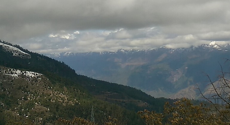
Before the clouds parted
There were two food outlets at the top and I chose the one that was smaller but looked cleaner. Selling only vegetarian items except for cup noodles, I had momos, maggie noodles and thukpa, a Bhutanese rice porridge, other than the mandatory masala tea. Why does a hot plate of masala maggie noodles taste so yummy when the weather is cold?
Another useful piece of information – there is a dry toilet available separately for men and women and I would think this is not a problem for most men but that may not necessarily apply to most women.
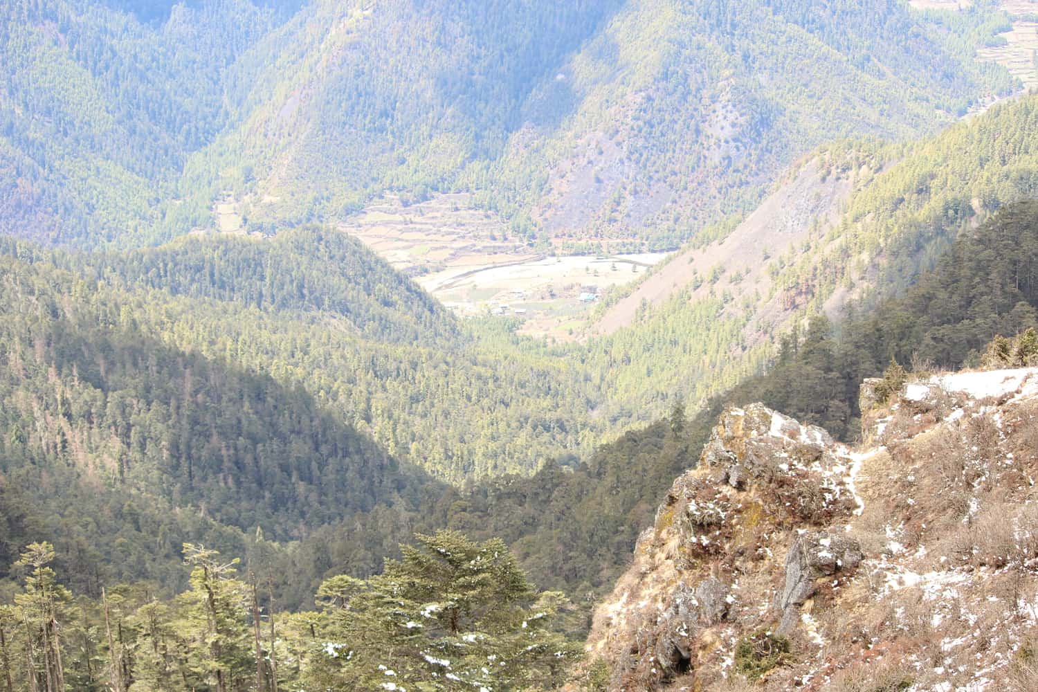
I drove down a bit to get a better view of Haa valley. There is an Indian army cantonment in Haa Valley, it is close to Doklam which borders Tibet on the north side and Sikkim on the west.